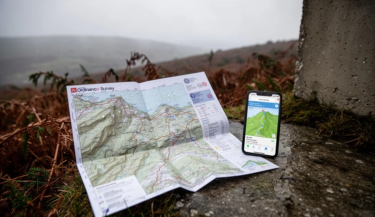
Anyone who has stood at a gate on Kinder Scout with rain sheeting sideways and a phone screen fogging up under their thumb knows this argument isn't academic. It's the one you have with your walking partner while your gloves are too wet to swipe properly and the path has vanished into three identical becks. Ordnance Survey paper maps and the OS Maps app both do the same fundamental job, they tell you where the land goes, but they do it in ways that suit different weather, different legs of a walk and different kinds of tired.
This isn't a case for ditching one in favour of the other. It's about knowing which tool earns its place in your rucksack on a proper wet Pennine or Cumbrian day, and which one you reach for out of habit rather than sense. We've tested both across a full walking season on ground from the Yorkshire Dales to Snowdonia, so what follows is grounded in soggy, first-hand experience rather than a shop counter recommendation.
What each tool actually does well
A paper OS Explorer map at 1:25,000 gives you the whole picture in one glance: the full valley, the ridge beyond it, the pub you're aiming for at the end. You can trace a route with a finger, spot an alternative descent if weather closes in, and see field boundaries and rights of way without waiting for anything to load. There's no battery to manage and no glare issue in bright cloud-break sun, which happens more often on British hills than forecasts suggest.
The OS Maps app, by contrast, is brilliant for precision in the moment. It shows your exact GPS position as a blue dot, which matters enormously in flat, featureless moorland like the top of Cross Fell or the plateau above Kinder Downfall, where a paper map and compass bearing alone can take real skill to use accurately. The app also lets you plan a route at home, check distance and ascent totals, and switch to satellite or aerial view to check whether that gully really is passable.
Where they genuinely differ is in what each rewards. Paper rewards map-reading skill, the kind built over years of walking with a compass and a memory for landmarks. The app rewards preparation, specifically downloading the right offline tiles before you leave the car park, because relying on live data in most of upland Britain is optimistic at best.
Battery life versus paper fatigue in bad weather
A phone running the OS Maps app with GPS active continuously will typically drain a fully charged battery in four to six hours, faster in cold weather because lithium batteries lose efficiency below about 5°C. On a January walk over Ingleborough, we've seen a phone go from 80% to 12% in under three hours simply from cold and constant location tracking, even with the screen off between checks.
Paper doesn't run out of charge, but it has its own failure mode: it disintegrates. Standard OS Explorer maps aren't laminated, and heavy, driving rain will turn folds into mush within an hour if you're checking it repeatedly. The practical fix most experienced walkers use is a map case, a simple clear waterproof pouch that costs around six to eight pounds and adds negligible weight, or buying the "Active" laminated version of the OS Explorer series, which costs roughly two to three pounds more than the standard paper edition.
- Carry a spare battery pack of at least 5,000mAh if relying on a phone for a full day route, it will typically give one to two extra full charges.
- Keep the phone in an inside jacket pocket rather than an outer pocket, body heat slows the cold-related battery drain noticeably.
- If using paper without a case, fold the map so only the section you need is exposed, this cuts down how much gets soaked on each check.
Neither tool is immune to weather. The real difference is that a dead phone is completely useless until charged, while a soaked map is still readable, if a bit soft and sorry for itself, right up until it starts tearing at the folds.
Signal blackspots and what happens when the app fails
Mobile signal across most of the Lake District fells, the Cheviots, and large stretches of mid-Wales is patchy at best. This matters less than people assume for basic app navigation, because the OS Maps app can run entirely offline once you've downloaded the relevant map tiles at home over wifi, GPS positioning doesn't need a phone signal to work.
The actual failure point isn't signal, it's forgetting to download the offline area before leaving, or the app crashing, which happens more often than most walkers admit, particularly on older phones or when battery gets critically low and the operating system starts killing background processes to preserve charge. We've had this happen on a descent off Blencathra in poor visibility, and the fifteen minutes it took to restart, relocate a GPS fix and reopen the offline map felt considerably longer standing in cloud with a path junction we couldn't quite place.
If the app does fail entirely, whether from a cracked screen, water ingress through a supposedly waterproof case, or a battery that simply won't hold charge in the cold, you are, at that point, navigating blind unless you have a paper backup or genuinely strong bearing-and-pacing skills. This is the single strongest argument for carrying both, not as redundancy for its own sake but because the failure modes of each are completely different and rarely happen at the same time.
Reading contour lines the app doesn't show clearly
This is where paper still has a real, practical edge that isn't just habit or nostalgia. OS Explorer maps print contour lines at 10-metre intervals with clear, consistent styling, and with practice you can read the shape of a hillside, spot a subtle spur, or notice a steepening before you're on it, just from the spacing and pattern of lines across a wide area at once.
The app displays the same contour data, but on a six-inch screen you're seeing a small window of that information at a time. Zooming out to understand the broader shape of a slope means losing the detail needed to place your exact position on it, and zooming in loses the wider context of where a ridge bends or a valley narrows. Reading a re-entrant or a subtle col in mist is genuinely harder on a phone screen than on a map spread across your knees.
Steepness is another area where paper still communicates faster. Experienced walkers judge gradient by the tightness of contour lines almost instinctively, a skill that takes seasons to build but pays off constantly. The app can display a gradient profile along a planned route, which is genuinely useful for pre-trip planning, but it doesn't replace the instant, wide-angle read of "that's steeper than it looks" that a paper map gives you standing at the top of a slope in poor visibility.
Cost and upkeep over a walking season
The numbers matter here, particularly if you're walking regularly rather than once or twice a year. An annual OS Maps subscription currently runs at roughly £31.99, giving unlimited offline downloads and access to the full 1:25,000 and 1:50,000 map catalogue for England, Scotland and Wales. Paper OS Explorer maps cost around £9.99 to £16.99 each depending on whether you buy the standard or laminated Active version, and most walkers covering varied terrain across a season will need at least six to eight different sheets.
| Item | Typical cost | Lifespan |
|---|---|---|
| OS Maps annual subscription | £31.99 | 12 months, all UK maps |
| OS Explorer paper map (single sheet) | £9.99 to £11.99 | Indefinite if kept dry and undamaged |
| OS Explorer Active (laminated) | £14.99 to £16.99 | Several seasons of regular use |
| Map case | £6 to £8 | Multiple seasons |
Over a full season covering, say, the Peak District, parts of the Dales and a week in Snowdonia, buying individual laminated sheets for each area can easily exceed the app subscription cost. For walkers who stick largely to one region, paper works out cheaper long term since a map doesn't expire, though OS does periodically update sheets with new rights of way or path changes, so a map bought eight years ago may not reflect a diverted footpath.
A sensible combination for most weekend routes
The most reliable approach we've found, and the one most Mountain Rescue teams quietly recommend, is carrying both, with the app as the primary tool for pace and position, and paper as the fallback that doesn't care about charge or crashes. Download the offline tiles the night before, check the battery is genuinely full rather than assumed full, and carry the relevant paper sheet folded to the section you need, in a case if rain is forecast.
On a typical day route of six to ten miles with moderate ascent, this combination costs almost nothing in extra weight, a folded map weighs perhaps 80 grams, and gives you a working backup within seconds if the phone dies or the screen becomes unreadable in driving rain. It also means you can cross-check: if the blue dot on the app looks odd or GPS drifts near tree cover or in a steep gully, glancing at the paper map's contour shape often resolves the confusion faster than fiddling with app settings.
Common mistakes
- Assuming mobile signal equals GPS functionality, they are unrelated, but many walkers only discover this when they've never tested offline mode before a walk.
- Buying a paper map years ago and trusting it completely, without checking for path diversions or new access land at OS's website beforehand.
- Carrying a phone as the sole navigation tool with no spare battery and no paper backup on routes above roughly 500 metres, where weather changes fastest.
- Not practising compass bearings on paper at all, so that when the app fails, there's no fallback skill to use it properly.
Next steps for your own kit
Before your next walk, check whether your phone's OS Maps offline downloads for your planned area, do this at home on wifi rather than trusting mobile data on the day. If you're walking regularly through autumn and winter, when battery drain from cold is worst, invest in a small power bank and a laminated Active map for your most-used local area. And if you're planning anything above 600 metres or into genuinely featureless terrain, it's worth a session with a qualified instructor, many outdoor centres in the Lakes and Peak District run affordable half-day navigation courses, to build the paper map and compass skills that no app can substitute for when the weather turns properly foul.