Anyone who has stood at a fork in a hedge line on a drizzly Tuesday, squinting at a weathered post, knows the particular frustration of a waymarker that seems to point everywhere and nowhere at once. Footpath signage in Britain is a patchwork built up over decades by different parish councils, county highway authorities and National Park teams, and while there's a national colour code underpinning it, the posts themselves range from crisp fingerposts installed last spring to Victorian ironwork that's been repainted by hand more times than anyone can count.
Getting comfortable reading these signs isn't about memorising a rulebook; it's about knowing what each colour and shape is actually telling you, and what to do when the post, the paint or the arrow itself has let you down. This guide walks through the practical reading of waymarkers as you'll meet them on a real walk, from the Pennine moors to the Cotswold wolds, and what to do when the countryside hasn't kept its paperwork up to date.
Why waymarker colour matters more than the wording
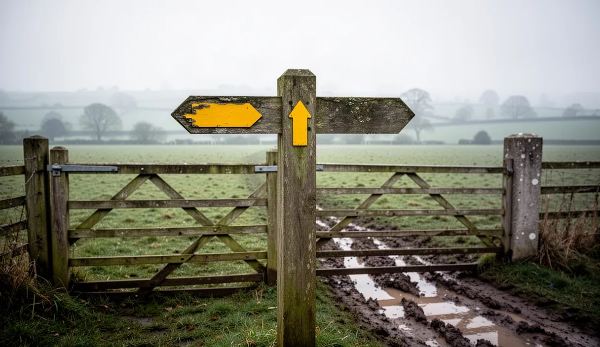
Most walkers glance at a signpost's arm and read the place name, but the colour of the arrow or the disc beneath it carries more legal weight than the wording ever will. In England and Wales the convention, set out by Natural England and mirrored by most highway authorities, uses colour to denote the type of right of way rather than the destination.
| Colour | Right of way type | Who can use it |
|---|---|---|
| Yellow | Public footpath | Walkers only |
| Blue | Public bridleway | Walkers, horse riders, cyclists |
| Purple | Restricted byway | Walkers, riders, cyclists, non-motorised vehicles |
| Red | Byway open to all traffic (BOAT) | All the above plus motor vehicles |
A red arrow on a green lane above Hebden Bridge means you might meet a trail bike where you least expect one, while the same route marked yellow a mile further on tells you it has narrowed to walkers only. This matters practically: a cyclist following a blue-tipped post onto a yellow-tipped stile has strayed off the legal line, even if the physical path looks identical underfoot. Wording on a fingerpost, by contrast, is often added later by a parish volunteer and can be inconsistent, outdated, or simply missing on older posts.
Some counties add their own tweaks. Peak District National Park, for instance, uses white-topped posts on permissive paths, agreed with landowners but with no automatic public right, which can be withdrawn. Always treat colour as the primary signal and destination text as a helpful extra, not the other way round.
Footpath, bridleway and byway: telling them apart
Beyond colour, there are physical clues that back up what the paint is telling you, useful on posts worn down by forty winters of Dales weather. Footpaths tend to have narrower gates, stiles rather than field gates, and waymarker discs no wider than about 10cm. Bridleways generally have wider gaps, bridle gates instead of squeeze stiles, because a horse cannot climb a stile, and the surface is often more compacted from hoof traffic.
Byways open to all traffic are the ones that most resemble farm tracks or unmetalled lanes; look for wheel ruts, a wider gate built for vehicle access, and often a cattle grid rather than a stile at the boundary. Restricted byways sit in between: no motor vehicles, but wide enough for a horse and cart, historically, and now popular with off-road cyclists and carriage drivers.
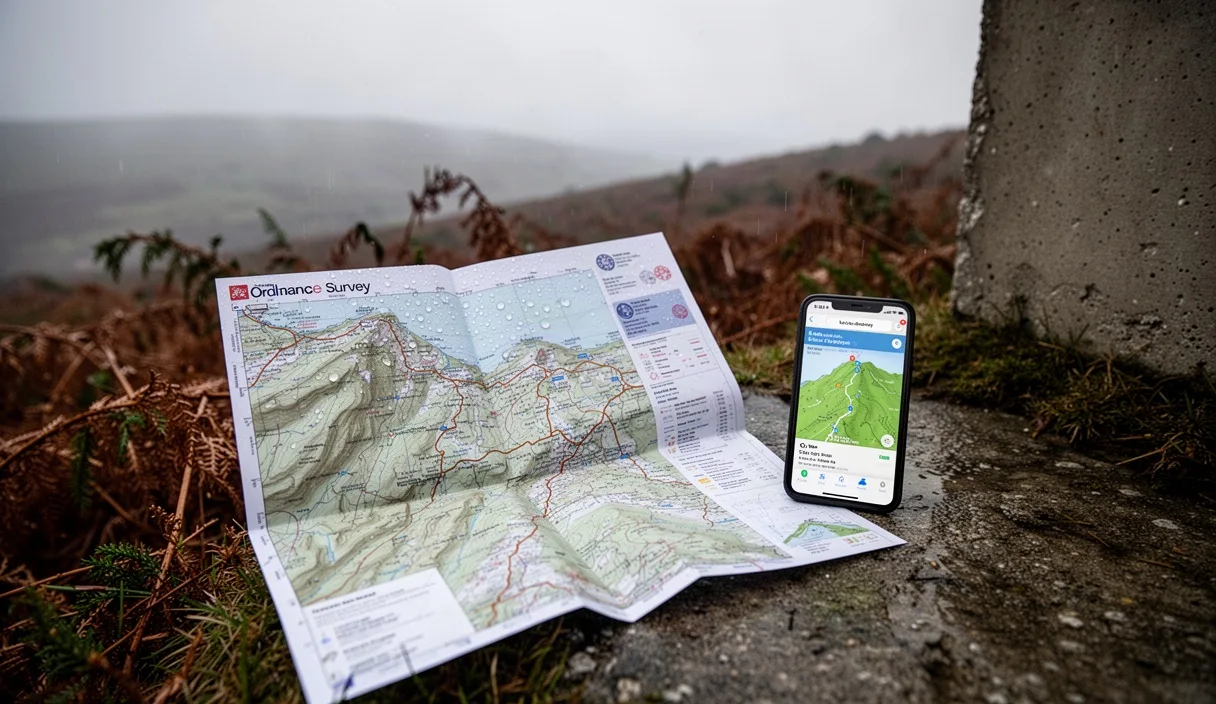
Where this trips people up is on shared sections. A bridleway can run alongside, then merge briefly with, a byway before splitting off again as a footpath. The Ordnance Survey Explorer map, at 1:25,000, shows this with different dash patterns: footpaths as pink dashes, bridleways as pink dashes with a cross, byways as pink dashes with dots. Carrying the relevant OS sheet, or its digital equivalent, and cross-checking it against the post you're standing beside is the single most reliable habit for avoiding a wrong turn onto private land.
Reading an arrow's angle when the post has shifted
Frost heave, badger digging and simple old age mean a good number of waymarker posts in Britain no longer stand quite as square as they did when installed. This causes genuine confusion, because an arrow's angle is meant to correspond fairly precisely to the compass bearing of the path, not just a vague wave in the right direction.
When a post is visibly leaning, take the following approach rather than trusting the arrow at face value:
- Look at the base of the post first. If it's sunk or rotated in the ground, note the direction of lean and mentally correct the arrow's angle back to vertical before reading it.
- Check for a second waymarker within sight, often on a gate or tree twenty to thirty metres along the suspected line. Two points confirm a direction better than one leaning post.
- Cross-reference with the map's line of dashes. If the OS map shows the path curving north-east and the post seems to point due east, trust the map over a post that may have twisted in a gale.
- In open moorland or fell country, use a simple hand-bearing compass against the map if the post's angle and the visible ground trace disagree by more than about fifteen degrees.
On a recent stretch of the Cleveland Way near Saltburn, a cliff-edge post had rotated almost forty-five degrees after a winter storm, arrow pointing out towards the sea rather than along the safe inland diversion. Walkers who paused to check the map, rather than following the arrow literally, avoided a genuinely dangerous shortcut. When in doubt on exposed or cliff terrain, treat a badly angled sign as a prompt to stop and verify, not a instruction to follow blindly.
What to do when a sign has gone missing entirely
Waymarkers vanish for all sorts of mundane reasons: a farmer strimming a hedge line takes the post out with it, a post rots through at ground level over a wet winter, or a well-meaning fence repair simply removes an obstruction without putting the marker back. Missing signage doesn't mean the right of way has vanished; the legal path still exists on the definitive map held by the county council, whether or not anyone has marked it on the ground.
Practical steps when a marker is absent:
- Stop at the last confirmed point and take a compass bearing or GPS reading, rather than guessing forward.
- Look for secondary clues: a worn line in the grass, a gap in a hedge, a well-trodden gap under a fence, all suggest where feet have continued to go even without a post.
- Check the OS map's dashed line against visible field boundaries; footpaths often run along the edge of a field rather than diagonally across it, even where the ground shows no obvious trace.
- If genuinely unsure, and no safe onward route is apparent, retrace your steps to the last certain waymarker rather than pushing on across unmarked private land.
This is also the moment to note the location, ideally with a grid reference, so it can be reported later, covered in the final section below.
Waymarkers on stiles, gates and trees explained
Away from freestanding posts, a great deal of waymarking in the British countryside is fixed to whatever's already there: a stile step, a field gate, a mature oak at a junction. These smaller discs, usually plastic or metal and around 6 to 10cm across, follow the same colour code as posts but are easy to miss if you're not looking at the right height.
On stiles, the disc is typically nailed to the top step or the upright post beside it, at roughly eye level for someone climbing over, an arrow pointing to the field you're entering rather than the one you've left. On gates, check both the gatepost and the gate itself; older farms sometimes have a disc on the post pointing one way and a separate arrow on the gate confirming the line across the field, useful when the gate has been rehung slightly off its original position.
Tree waymarkers, common in managed woodland like the Forest of Dean or the New Forest, are usually fixed at around head height and can fade badly under a canopy that blocks UV but traps damp. A faded disc that looks blank in flat woodland light often reveals its colour if you angle it towards a gap in the leaves, or simply run a thumb over the surface, since the paint sometimes survives better than it looks.
Reporting a damaged or misleading sign
Every public right of way in England and Wales is the legal responsibility of the county council or unitary authority, or the National Park authority where one exists, not the landowner, even though the landowner is expected to keep the route clear of obstruction. This means a rotted post or a missing arrow is genuinely someone's job to fix, and reporting it is worthwhile rather than a formality.
Most authorities now run an online rights of way reporting form; searching "[county name] rights of way report a problem" usually finds it directly. When reporting, include a grid reference or what3words location, a short description of the problem, whether it's a missing post, a misleading arrow angle, or a fallen sign, and a photo if you have one. The Ramblers' organisation also runs its own "Big Path Watch" scheme in some regions, feeding reports through to local authorities alongside your own submission.
If a sign appears to have been deliberately altered, for instance an arrow repainted to redirect walkers away from a legal path onto a diverted route around a landowner's field, this is worth flagging explicitly as potential obstruction of a right of way, a matter the highway authority takes seriously; you are not expected to resolve any dispute yourself, and confronting anyone on-site isn't advisable. Report it and let the authority investigate.
Common mistakes
Trusting a fingerpost's destination wording over its colour code is the most frequent slip, closely followed by assuming a leaning post's arrow is accurate without checking the map. Walkers also commonly overlook secondary waymarkers on gates when focused on a freestanding post, and miss faded tree discs entirely in low woodland light. Finally, many people push on across a field when a marker is missing rather than pausing to check a bearing first, which is how minor detours turn into genuine trespass onto neighbouring land.
Next steps for confident navigation
Carry the current OS Explorer map or its app equivalent for any area you're walking regularly, since definitive rights of way are updated periodically and a map from a decade ago may not reflect recent diversions. Get used to checking colour before wording at every post you pass, even on familiar routes, as posts do get replaced and colours occasionally corrected. If you regularly walk in one area, consider noting missing or damaged signs as you go and submitting a single batch report to the local authority once a season, which tends to get more attention than isolated one-off reports. And where a route genuinely seems unclear or unsafe, particularly near cliffs, quarries or livestock, the sensible course is always to turn back to the last certain point rather than trust an ambiguous arrow.