
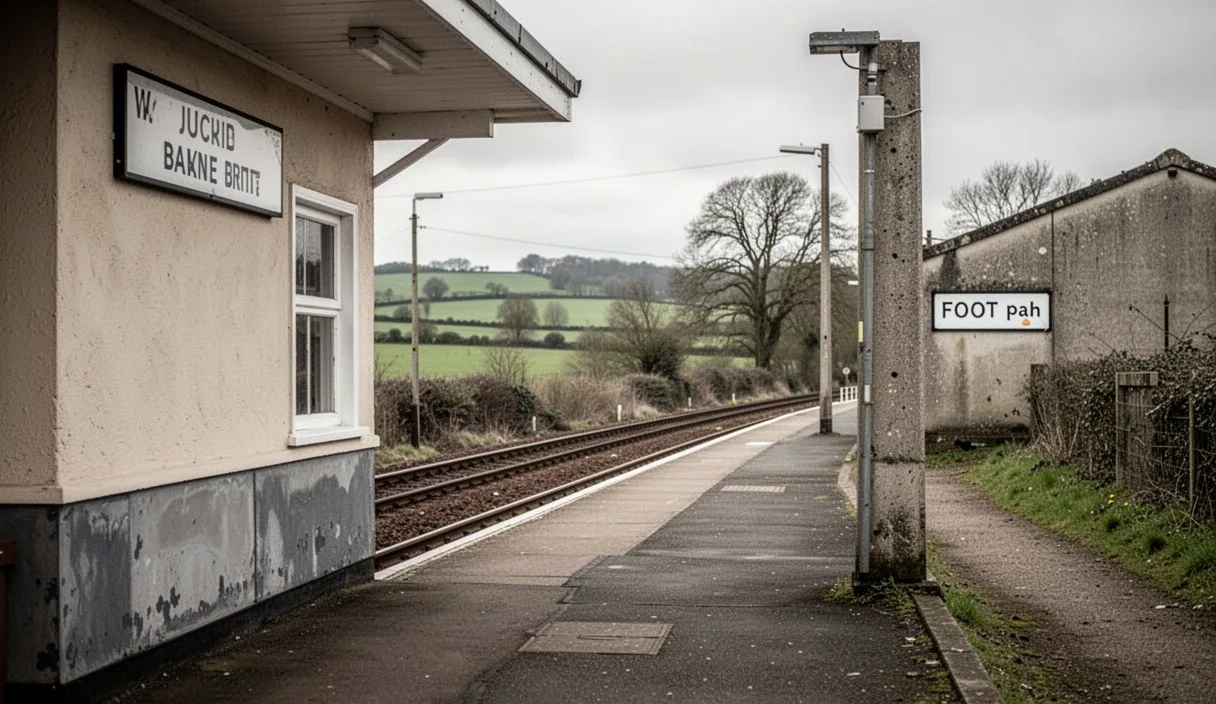
There is a particular kind of dread that comes with arriving at a car park at half past nine to find the last space taken by someone with a roof box and a Labrador. A station start avoids all of that. You step off the train, the platform empties, and the walk begins the moment your boot touches tarmac rather than after twenty minutes of circling a farm gateway looking for somewhere legal to leave the car.
Planning a circular walk that starts and ends at the same station, rather than a linear route that dumps you somewhere else entirely, takes a bit more thought than picking a trail off a map and hoping for the best. It means working backwards from a timetable as much as forwards from a footpath. This piece sets out how to do that properly, using the kind of small rural and market-town stations that dot lines like the Settle to Carlisle, the Cotswold Line, or the branch lines out of Norwich and Shrewsbury, where a missed connection can mean a two-hour wait on a cold platform rather than a quick hop to the next train.
Why a station-to-station loop beats a car park start
A car forces a there-and-back or a linear walk with a taxi or a second car at the far end, both of which add cost and faff. A train, by contrast, is already doing half the logistical work for you. You get on where you live or work, get off somewhere new, and the walk simply has to bring you back to the same platform. No shuttle, no arranging lifts, no leaving a spare key with a neighbour.
There is also a cost argument. A day return from, say, Sheffield to Hope in the Peak District runs to around 8 pounds off-peak, considerably less than the fuel, parking, and wear on a car doing the same round trip, and without the risk of a 40-pound penalty charge notice on the windscreen when you get back late from a longer route than planned.
The other advantage is less obvious until you have tried it: a station start gives you a hard, fixed end point that does not move. A car park might fill up by mid-morning, meaning you either arrive earlier than you'd like or gamble on space. The station platform is always there, and the train is either on time, delayed, or cancelled, all of which you can check from your phone rather than discovering on arrival.
Checking timetables before checking the map
Work in this order: timetable first, route second. There is little point falling in love with a 14-mile loop around the Malvern Hills if the only trains back from Great Malvern on a Sunday run two hours apart and the last one leaves at 6.14pm in October, well before you'd finish.
Start by looking up the outbound and return services for the actual day you intend to walk, not a typical weekday, since rural lines often run a reduced Sunday or bank holiday service. National Rail's live departure boards and the operator's own app (Northern, Great Western Railway, and others all have their own) will show you not just the scheduled times but any planned engineering works, which are common on branch lines during autumn and winter weekends.
A few practical checks worth doing every time:
- Confirm there is more than one train back, not just one, so a missed connection or a slow first half of the walk does not leave you stranded until the following morning.
- Check whether the station is a request stop. Some smaller halts, such as those on the Conwy Valley line, only stop if you tell the guard or press a button, and trains will otherwise sail through.
- Note the platform for the return leg. On single-track lines with a passing loop, the platform can be on the opposite side of the tracks to where you arrived, sometimes reached only via a footbridge or a level crossing a short walk down the road.
Once you know your window, say a 9.42am arrival and trains back at 3.15pm, 4.15pm, and 5.48pm, you have a real budget of time to plan the walk around, rather than an open-ended day that quietly runs away from you.
Working out a realistic distance for the daylight available
A common error is planning distance based on how far you can walk, rather than how far you can walk within the hours you actually have. In late November, with sunset around 4pm in the north of England, a walk that starts at 10am and needs to reach a station by 3.15pm leaves a genuine walking window of about five hours, minus stops.
A reasonable planning figure for mixed terrain, hills, field paths, the odd stile and gate, is 3 to 4 kilometres an hour, or roughly 2 to 2.5 miles an hour once you account for map checks, photographs, and the inevitable pause to work out which of three gates is the right one. On that basis, a five-hour window gives you a sensible loop of around 11 to 14 miles, with a bit of contingency built in rather than used up.
Naismith's rule, the old mountaineering formula, adds extra time for ascent: roughly one extra minute for every 10 metres climbed. It is a rough guide rather than gospel, and anyone tackling genuinely steep or exposed ground, particularly in winter conditions, should look at proper hillwalking guidance rather than a rule of thumb from a magazine article.
| Season | Typical daylight window | Sensible loop distance |
|---|---|---|
| Midwinter (Dec/Jan) | Roughly 8am to 4pm | 6 to 9 miles |
| Spring/Autumn | Roughly 7am to 6.30pm | 10 to 14 miles |
| Midsummer (Jun/Jul) | Roughly 5am to 9.30pm | 14 to 18 miles, for experienced walkers |
Build in a margin of at least 45 minutes to an hour before the return train, not to sit in a puddle waiting, but because the last mile back into any town is nearly always slower than expected, often along pavement rather than path, and often uphill to the station itself.
Finding the footpath link out of the station
The bit that catches people out is the first half-mile, not the open countryside further on. Many rural stations were built with the railway company's own access in mind, not a rambler's, so the nearest public footpath might be along a B-road with no verge, or through an industrial estate that did not exist when the line opened in 1875.
Before travelling, check the relevant Ordnance Survey Explorer map (the orange 1:25,000 series) for the station and trace the nearest right of way, marked as a green dashed line. Cross-reference this with the station's own layout using a satellite view, since some stations have a footbridge or subway that only opens on one side, meaning the map might show a path that is not actually reachable from your platform without a detour.
A few things worth doing before setting off:
- Note the grid reference of the first stile or gate off the road, so you are not relying on memory once you are stood outside a station with three lanes leading off in different directions.
- Check whether the walk crosses any level crossings, since some request permission by phone before crossing, particularly on lines with fast intercity services.
- Look at recent trip reports on walking forums or the OS Maps app for that specific station, since these often flag a diversion, a closed footbridge, or a landowner dispute that would not show on an older printed map.
If in doubt, ring the local council's public rights of way team in advance. Most maintain an online map of registered footpaths and can confirm whether a route shown on an older map is still legally open, since paths are occasionally diverted or, more rarely, extinguished.
Building in a stop for food or a pub
A circular walk with a pub roughly at the midpoint, rather than right at the start or end, tends to work better in practice. Stopping too early means carrying a heavier stomach over the harder half of the walk, and stopping right at the end often means rushing the last pint to catch a train.
Village pubs in walking country increasingly expect food orders by early afternoon, particularly outside the main tourist season. Kitchens in smaller establishments often close between 2.30pm and 5.30pm even when the bar stays open, so a late lunch stop planned for 3pm might find the kitchen shut, leaving only crisps and a packet of pork scratchings.
Ringing ahead, even just the morning of the walk, is worth doing for anywhere with fewer than a handful of tables, since walking groups of six or eight can otherwise turn up to find no room and a forty-minute wait. It is also worth checking whether the pub is open at all on a Monday or Tuesday, as many rural pubs now close on quieter weekdays to manage staffing costs.
If a pub stop does not suit the day, a village shop or bakery works as a fallback, though smaller village stores in England increasingly close by early afternoon on Sundays under reduced trading hours, so this is worth checking rather than assuming.
What to do if you misjudge the timing
Even careful planning goes wrong sometimes: a longer lunch, a wrong turn adding a mile, mud slowing the pace on a wet October Saturday. The first thing to do is recheck the timetable on your phone rather than assume the plan you made that morning still holds, since delays and cancellations happen without much warning on rural lines.
If you are going to miss the train you planned for, look at whether a later one exists that day. Many branch lines run only every one or two hours, so missing a 4.15pm train might mean the next is not until 5.48pm or, on a Sunday, not at all until the following morning. In that situation, check whether a nearby town has a more frequent bus service back, or whether a taxi from a larger settlement nearby is a realistic and affordable option, typically 15 to 25 pounds for a short hop of a few miles in most of rural England.
Carrying a printed or downloaded offline map matters here, since phone signal on many rural branch lines and the valleys around them is patchy at best. If unsure of a shortcut back, sticking to the longer, known route is usually safer than guessing at a shortcut on a map with no signal to confirm it, particularly as light fades.
Common mistakes
The same handful of errors turn up again and again on station-to-station walks. Planning the route first and the trains second, so a beautiful 16-mile loop turns out to need a train that stopped running on Sundays three years ago. Forgetting that the return platform may be on the far side of the tracks, reachable only by a footbridge a quarter-mile from where the train actually stops. Assuming every rural pub kitchen serves food all afternoon. And underestimating how much slower the final mile into a station feels when it follows a main road pavement rather than open path.
Next steps
Pick a station within 45 minutes of home on a line you have not walked from before, check both the outbound and at least two return train times for the actual day, and trace the first half-mile of footpath on an OS Explorer map before you go. Ring the pub you are aiming for if there is one, note a grid reference for the first stile off the station approach, and pack a printed map as backup even if you plan to navigate by phone. None of this takes more than twenty minutes the evening before, and it is the difference between a walk that flows and one spent squinting at a departure board wondering where the last train went.